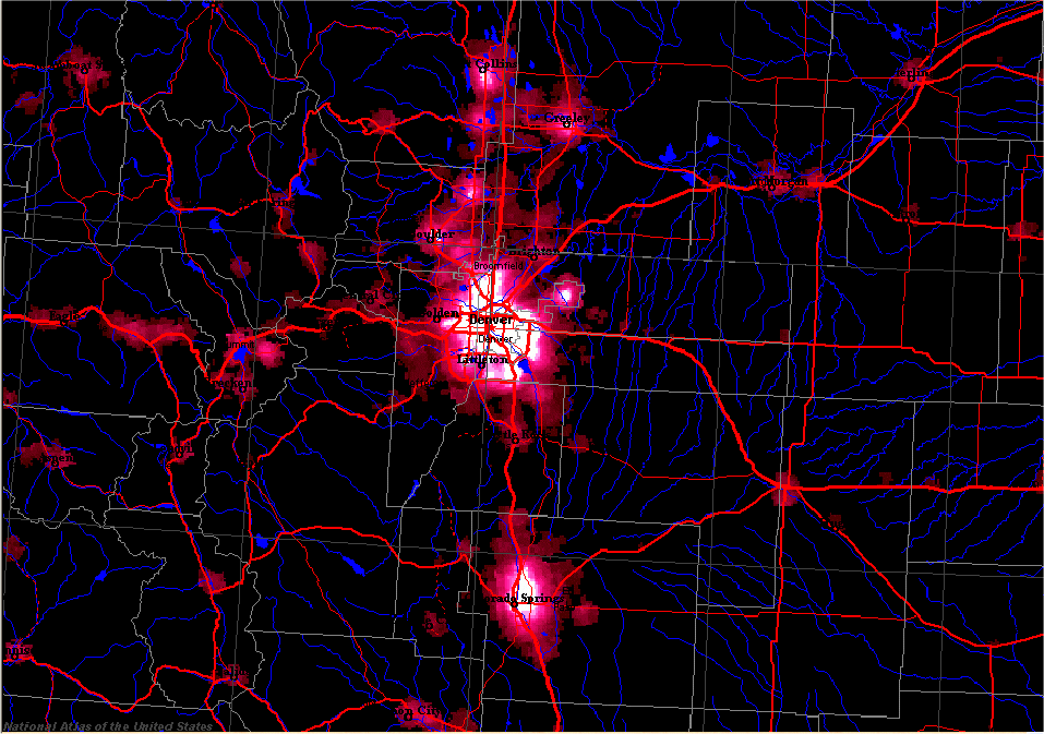
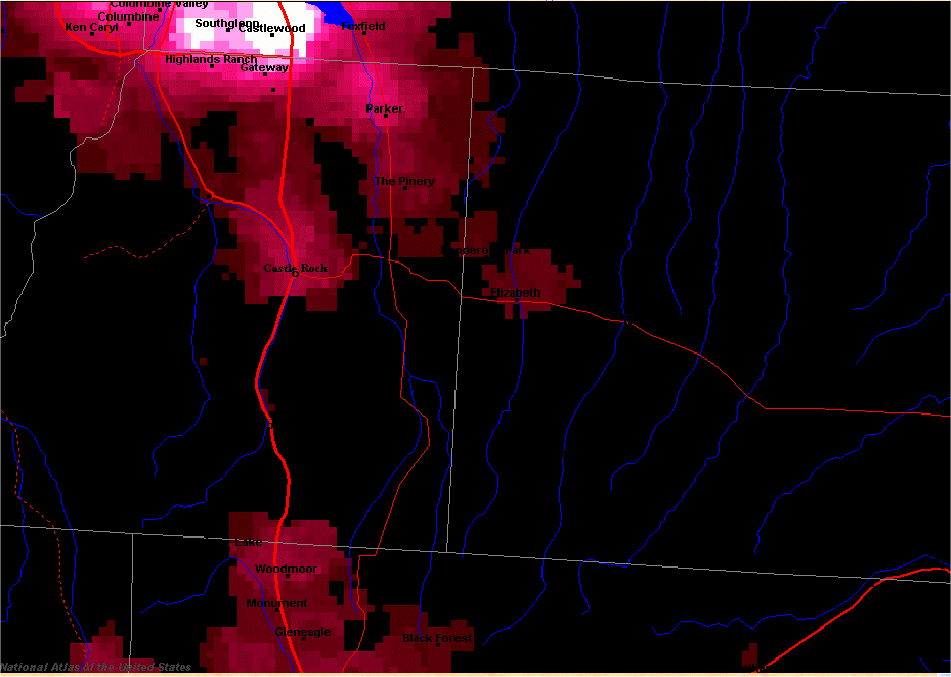
The picture above was generated from the National Atlas of the United States (it's easy to generate one for your area). While it's a nice picture it has a few problems in that the data is old (e-470 doesn't show up on it yet) and there's been a lot of construction in the southeast around e470. There's another picture from Clear Dark Sky that has a better light sensitivity (the data from the National Atlas cuts-out at about 20 mags / sq arcsec or 4.5 on the Bortle scale), but it doesn't show roads or towns. Finally, I have a blow-up of the souteast centered around Elbert. Interestingly, the DAS site (just SE of where I-70 starts dipping SE) seems to be about a 3 on the Bortle scale.